'엑셀'기능이있는 앱
1
0
1
1
1
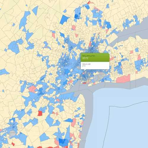
Spotzi Mapbuilder
Spotzi는 무료로 사용해 볼 수있는 비즈니스 / 전문가를위한 사용하기 쉬운 온라인 GIS / 데이터 매핑 플랫폼입니다.짧은 학습 곡선으로 사람들은 즉시 데이터에서지도를 만드는 것으로 시작할 수 있습니다.Spotzi에는 또한 기성품지도 + 데이터가있는 데이터 숍이 있습니다.
2


2
2
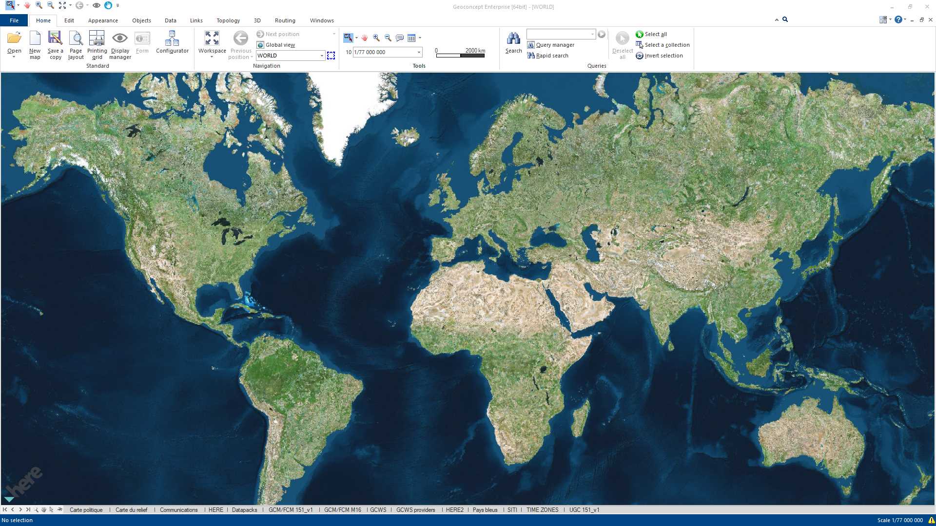
Geoconcept
GEOCONCEPT 솔루션은 무엇보다도 지리 데이터의 성능을 최대한 활용하고자하는 사용자의 기대에 부응하도록 설계되었습니다.
- 유료 앱
- Windows
- Web
- Self-Hosted
4

6

6
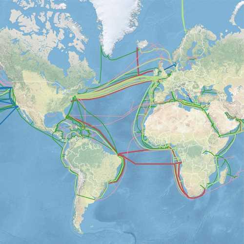
TomTom Maps APIs
TomTom Maps API를 사용하면 위치 인식 애플리케이션을 쉽게 구축 할 수 있습니다.검색, 라우팅, 매핑, 트래픽 및 탐색 기능으로 모바일 및 웹 앱을 빌드하고 향상시키기 위해 다양한 크로스 플랫폼 REST API 및 SDK를 사용할 수 있습니다.
8
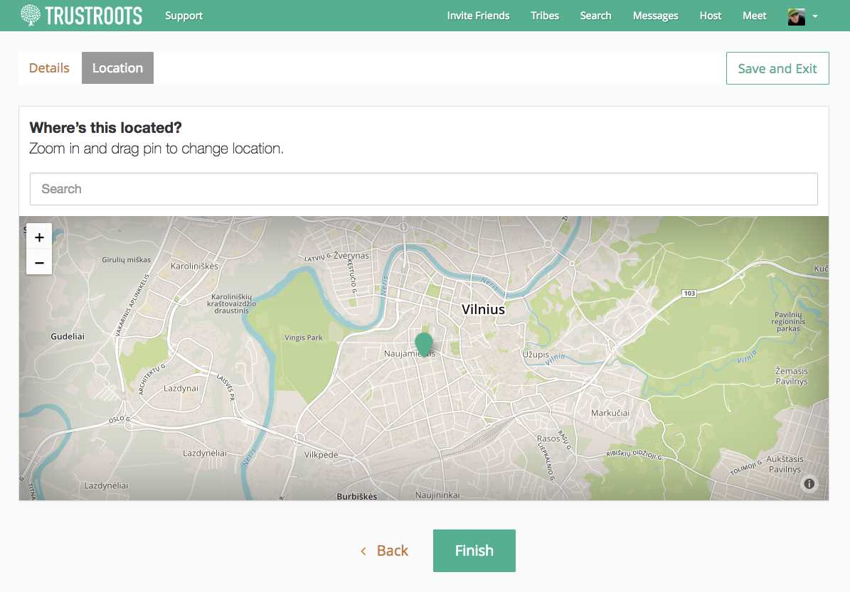
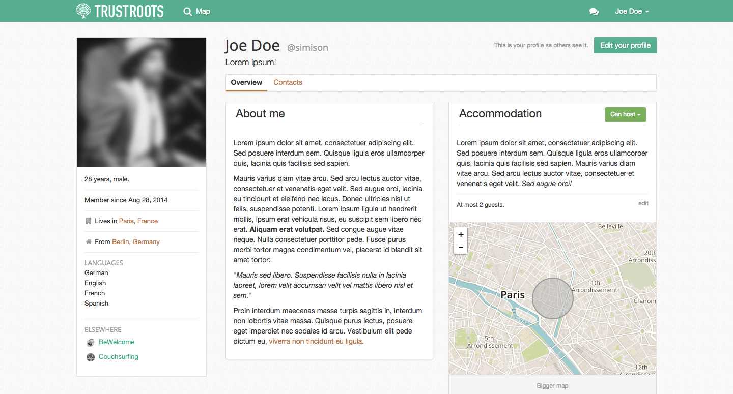
Trustroots
사람들을 공유하고, 호스팅하고, 공유하기위한 여행자 커뮤니티.우리는 신뢰와 모험을 장려하는 세상을 원합니다.
101

12
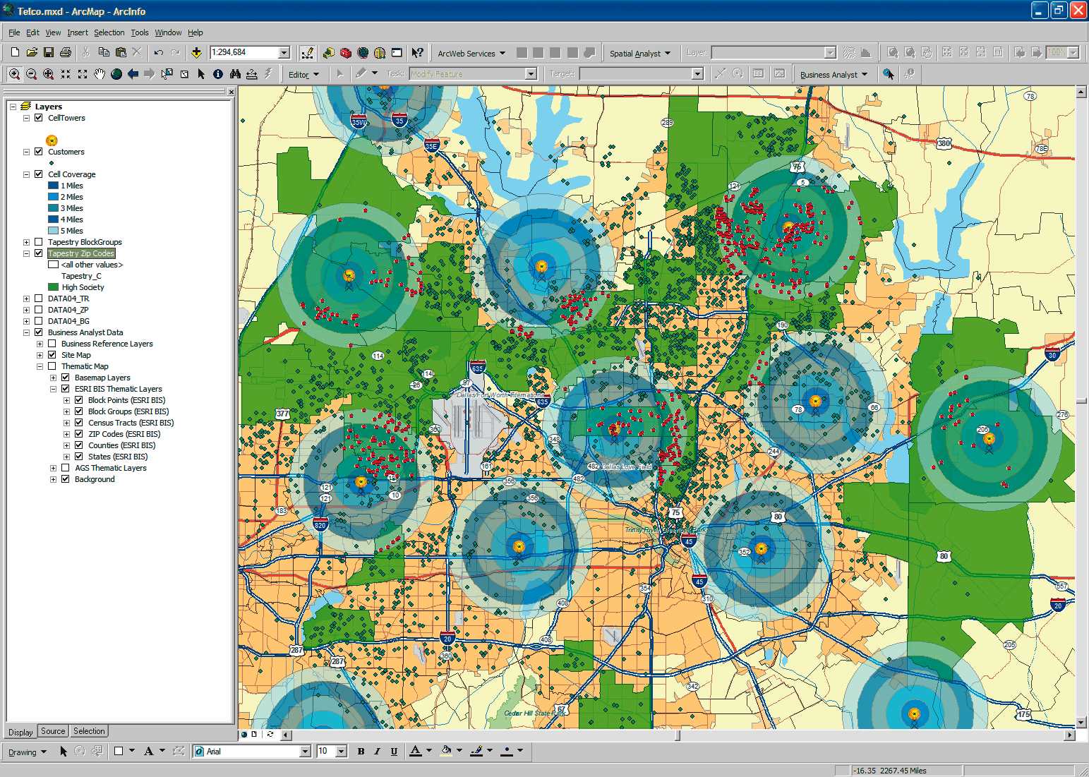
ArcGIS
ArcGIS는 지리 데이터를 시각화, 관리, 생성 및 분석하기위한 GIS (Geographic Information System) 소프트웨어입니다.

30

2
12