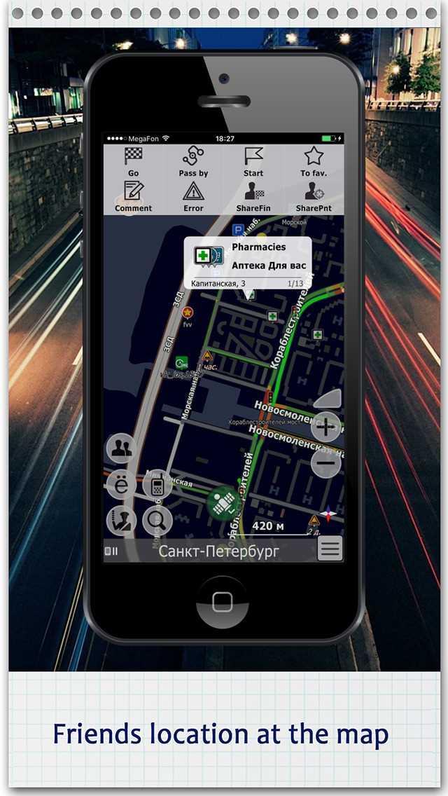
'엑셀'기능이있는 앱
0
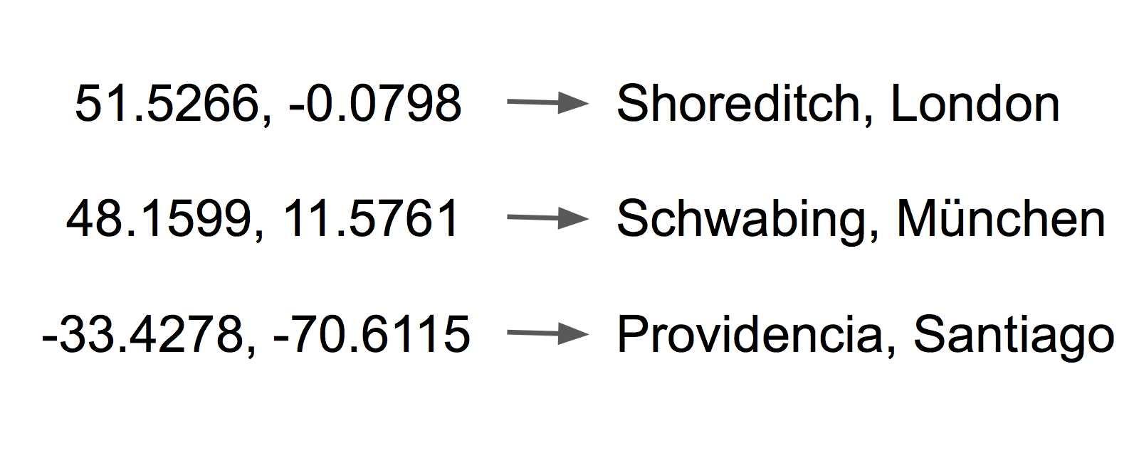
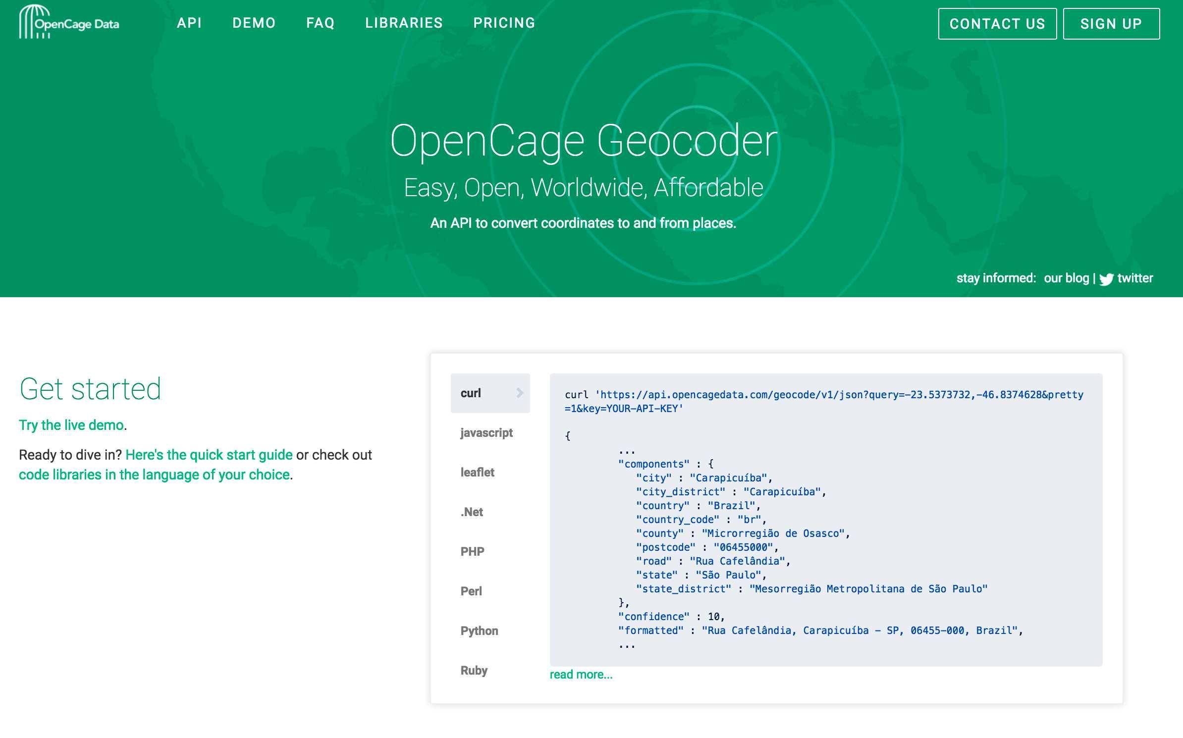
OpenCage Geocoder
좌표를 장소로 또는 그 반대로 변환 할 수있는 쉽고 개방적인 전 세계적으로 저렴한 API입니다.무료 및 유료 사용 수준.대부분의 프로그래밍 언어를위한 라이브러리.
- 무료 앱
- Web
0
0

0
0
0
Merkaartor
Merkaartor는 GNU General Public License에 따라 배포 된 Unix, Windows 및 Mac OSX 용 OpenStreetMap 편집기입니다.
0
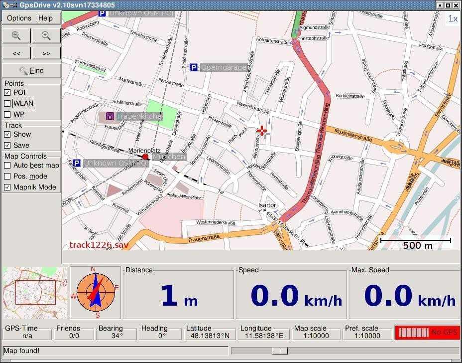
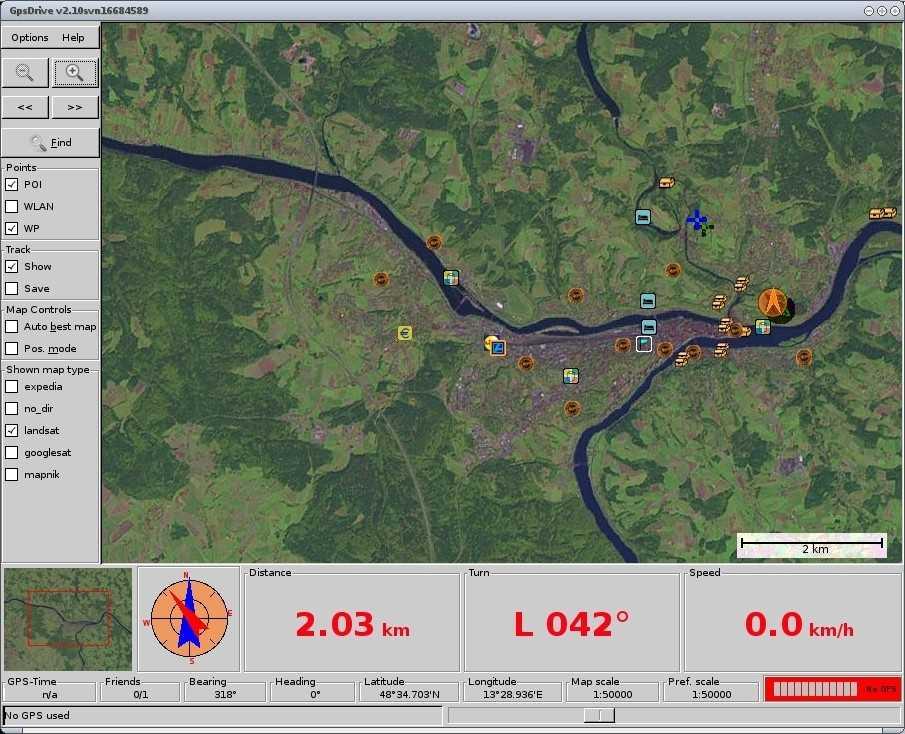
GpsDrive
GpsDrive는 자동차 (자전거, 선박, 비행기) 내비게이션 시스템입니다.GpsDrive는 GPS 수신기에서 제공 한 위치를 확대 / 축소 가능한지도에 표시합니다.
0
21
MapBox
MapBox를 사용하면 아름다운 맞춤형지도를 쉽게 디자인 할 수 있으며 Open Street Map 데이터를 사용하여 웹 사이트 및 모바일 애플리케이션에 빠르게 통합 할 수 있습니다.

0
Vectorial Map
Vectorial Map 애플리케이션을 사용하면 Windows, MacOS, Windows Phone 및 Apple iOS를 포함한 다른 플랫폼에서 Mapsforge 오프라인 벡터 맵을 볼 수 있습니다.
1
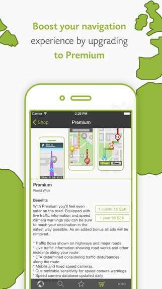
Wisepilot
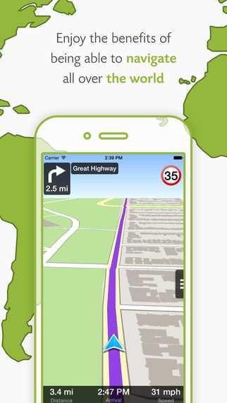
전 세계를 탐색하십시오!속도 제한 경고와 함께 단계별 내비게이션, 음성 안내 및 속도 표시.OpenStreetMap에서 최신 맵에 온라인으로 액세스합니다.
1
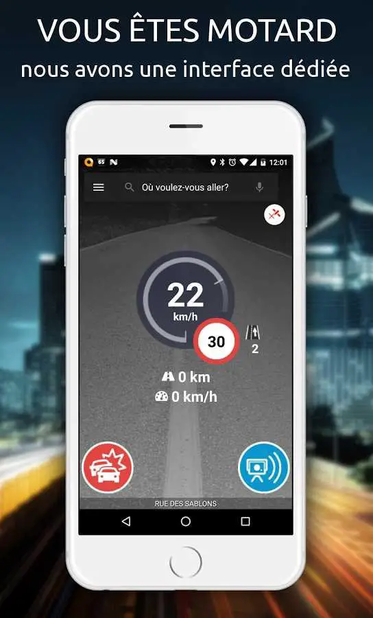
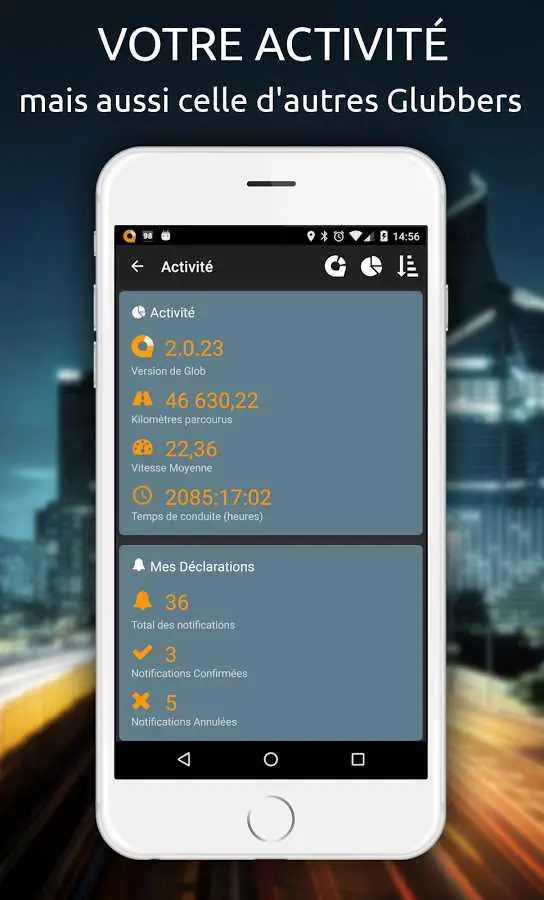
Glob Info-trafic, Radars & GPS
Glob은 공동의 이익에 기여하고 이익을 얻는 것에 관한 것입니다.Glob은 최신 자동차 내비게이션 기술과 세계 최고 수준의 실시간 교통 정보의 매끄러운 조합입니다.당신은 항상 최고의 경로를 선택합니다.
1
GeoNET
GeoNET은 무료 OSM 맵이있는 Android, iPhone 및 Windows Phone 용 무료 오프라인 탐색 앱입니다.
1
1
1
3
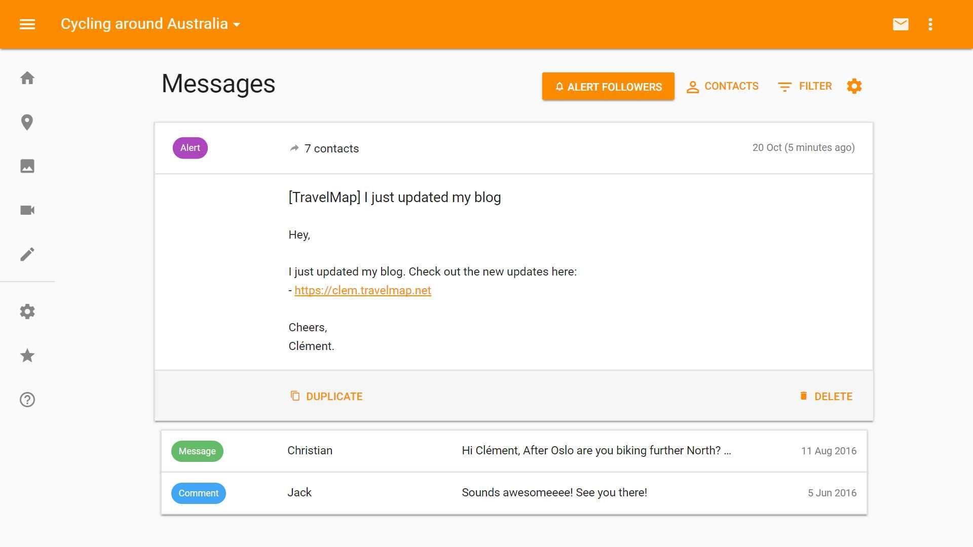
A Photo Manager
Android에서 로컬 사진 관리 : 갤러리, 포토 맵이있는 위치 정보 태그, 태그, 찾기, 정렬,보기, 복사, 삭제, 보내기, ...
1
WhatIsWhere
OpenStreetMap 기반 POI 검색 도구 (여러 기준 지원), POI 다운로드, 검색 프로젝트 재사용 등 시장 분석 및 영역 조사에 사용할 수 있습니다.
1