0
GeoSheets
GeoSheets는 지오 코딩, 주소 정규화, 거리 계산 및 사용자 지정 및 포함 가능한 맵 생성과 같은 간단한 GIS 작업을 간단하게 수행 할 수있는 Google 스프레드 시트 무료 애드온입니다.
- 프리미엄 앱
- Web
- Google Drive
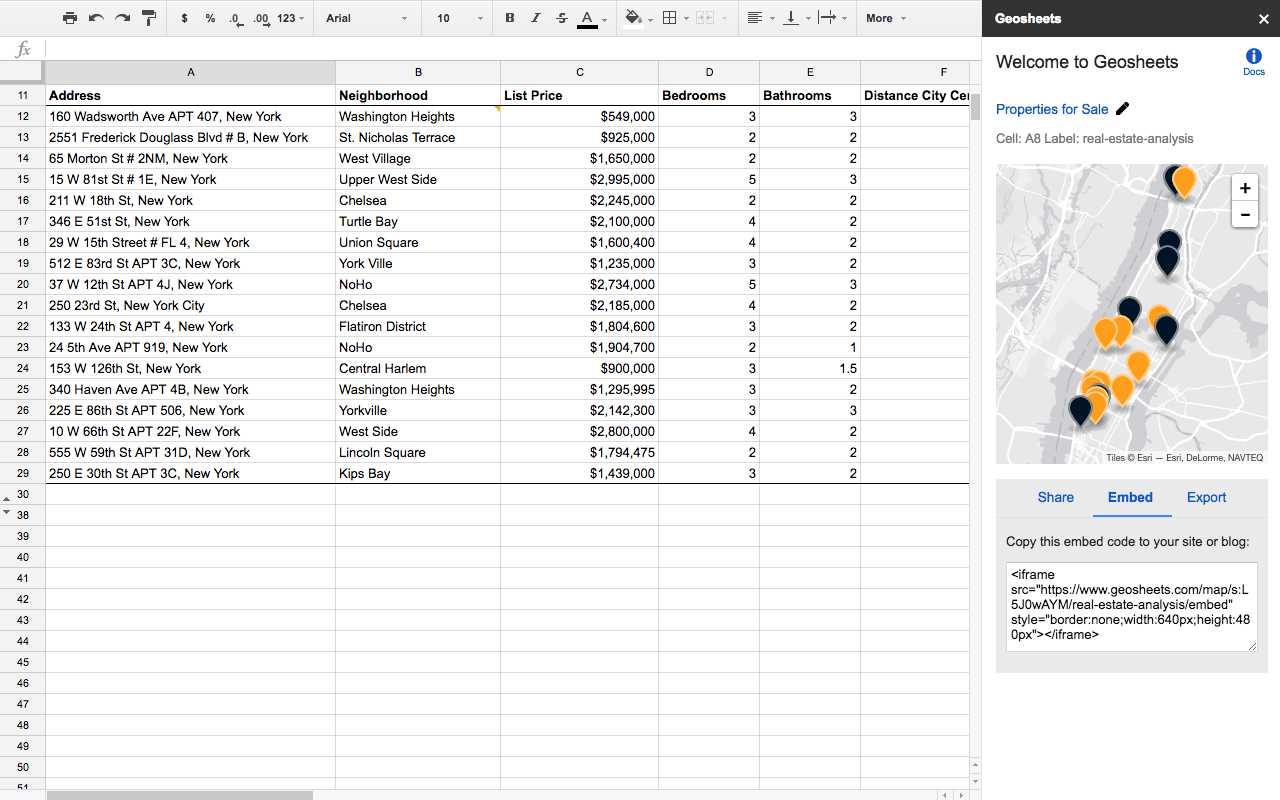
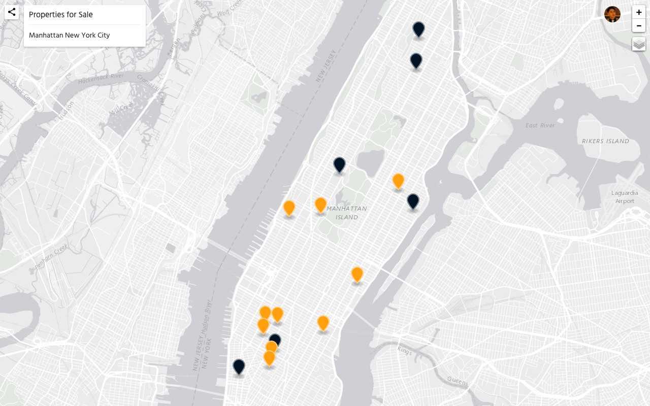
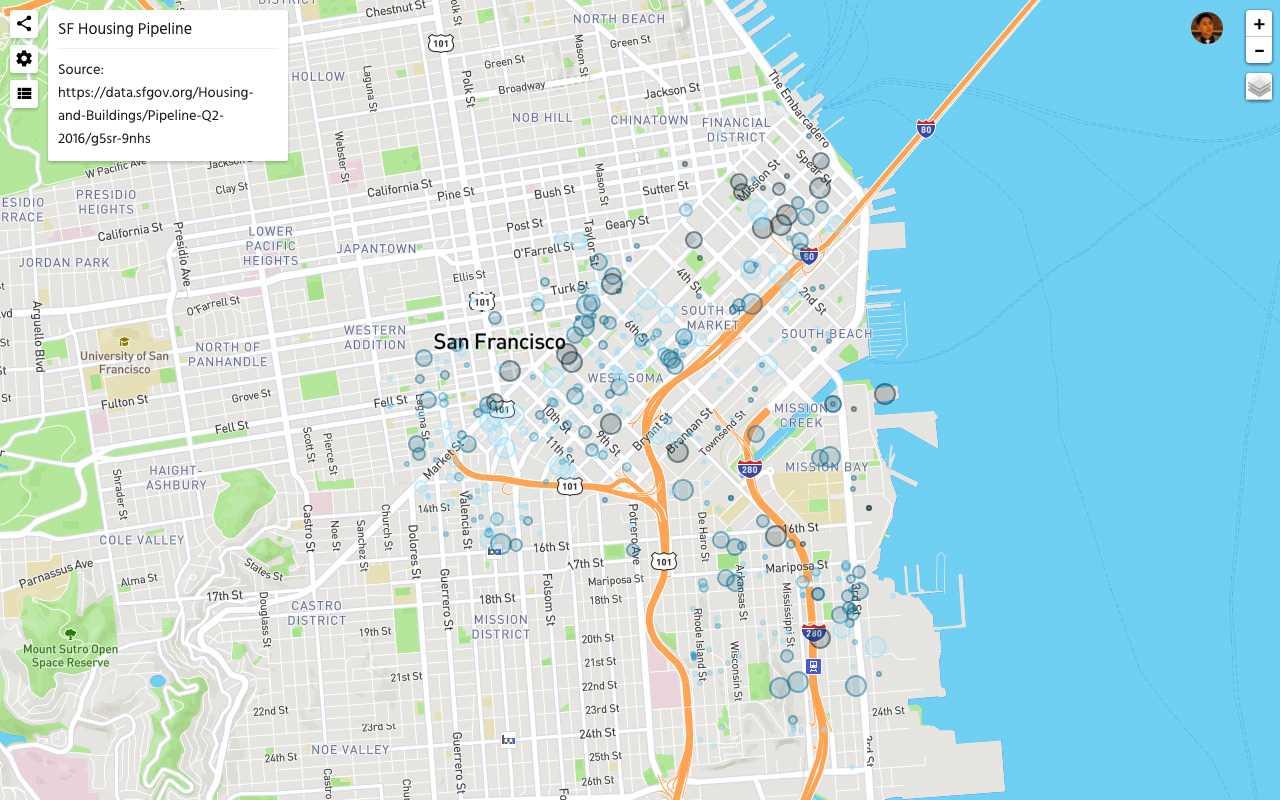
스프레드 시트에서 위치 데이터로 쉽게 작업 할 수 있습니다.지오 시트 (GeoSheets)를 사용하면 죽은 간단한 기능으로 주, 이웃 등을 기준으로 포괄적 인 위치 조회를 할 수 있습니다.1. 스프레드 시트에서 직접 작업 스프레드 시트에서 위치 및 관련 메타 데이터를 정의하십시오.지오 코딩 및 조회 기능을 사용하여 데이터를 보강하십시오.2. 비즈니스 급지도 생성하기 비싸고 배우기 어려운 GIS 소프트웨어를 사용하지 않고도 수십, 수백 또는 수천 개의 위치로지도를 만들 수 있습니다. 3.지도를 사용자 정의하고 공유하십시오.당신의 데이터.지도를 쉽게 게시 및 포함하거나 동료 또는 친구와 공유 할 수 있습니다.
웹 사이트:
http://www.geosheets.com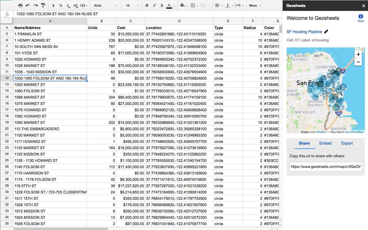
상용 라이센스가있는 모든 플랫폼에서 GeoSheets를 대체
22
12
ArcGIS
ArcGIS는 지리 데이터를 시각화, 관리, 생성 및 분석하기위한 GIS (Geographic Information System) 소프트웨어입니다.
8
4
MapInfo Professional
MapInfo Professional은 Pitney Bowes MapInfo의 강력하고 기능적으로 풍부한 데스크톱 매핑 응용 프로그램으로, 조직에서 다음과 같은 비즈니스 문제를 해결할 수 있도록 설계되었습니다.
- 유료 앱
- Windows
3
Spatial Feature Server
MapET의 Spatial Feature Server는 ESRI Geoservices REST 구현이며 모든 ESRI Rest API와 함께 작동합니다.게시 된 데이터의 소스는 Oracle, Microsoft SQLServer, MySQL, PostgreSQL과 같은 주요 RDBMS의 공간 확장입니다.
- 유료 앱
- Windows
2
Geoconcept
GEOCONCEPT 솔루션은 무엇보다도 지리 데이터의 성능을 최대한 활용하고자하는 사용자의 기대에 부응하도록 설계되었습니다.
- 유료 앱
- Windows
- Web
- Self-Hosted
2
0
0