0
GetNexrad
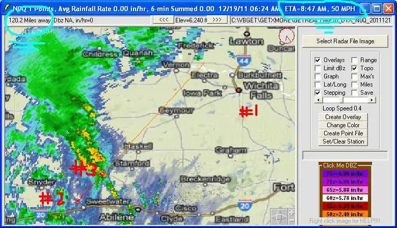
GetNexrad.exe는 NOAA WSR-88D Nexrad 도플러 레이더 이미지를보고 지점 및 면적 평균 강우량을 계산하고 GetRealtime에서 사용하는 유역 지점 파일을 생성하는 데 사용되는 도구입니다.
- 무료 앱
- Windows
GetNexrad.exe는 NOAA WSR-88D Nexrad 도플러 레이더 이미지를보고 점 및 면적 평균 강우량을 계산하고 GetRealtime.exe가 사용하는 유역 지점 파일을 생성하여 실시간으로 유역 평균 강우량 시계열의 계산을 자동화하는 데 사용되는 도구입니다.
카테고리
라이센스가있는 모든 플랫폼에서 GetNexrad를 대체
2
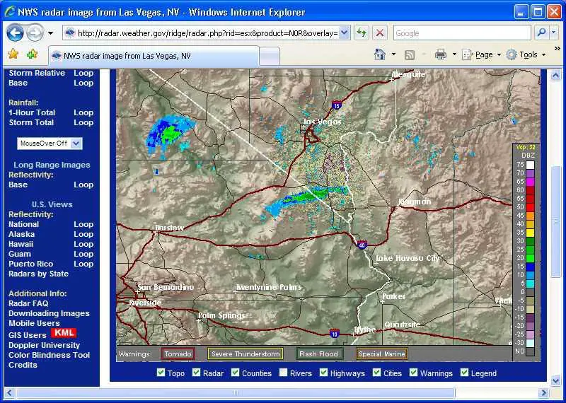
RadarScope
RadarScope는 기상 애호가 및 기상 학자를위한 전문화 된 디스플레이 유틸리티로 NEXRAD Level 3 레이더 데이터 및 심각한 기상 경보를 볼 수 있습니다.
- 유료 앱
- Mac
- Android
- iPhone
- iPad
- Android Tablet
1
0
0
0
0
RadarScope for iOS
RadarScope는 날씨 애호가 및 기상 학자를위한 특수 디스플레이 유틸리티로, Tornado와 함께 NEXRAD Level 3 및 초 고해상도 레이더 데이터를 볼 수 있습니다.
- 유료 앱
- Mac
- Android
- iPhone
- iPad
- Android Tablet