10
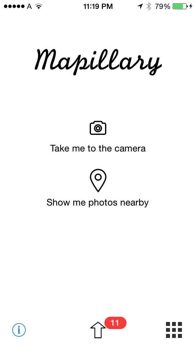
Mapillary
크라우드 소싱 된 거리 수준 사진 및 파노라마.Mapillary는 스마트 폰 앱, 웹 사이트 및 API로 구성됩니다.
- 프리미엄 앱
- Kindle Fire
- Android
- iPhone
- Windows Phone
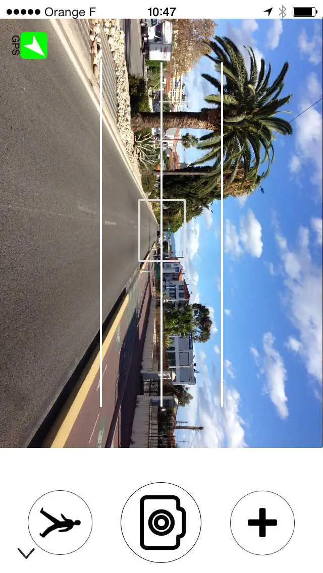
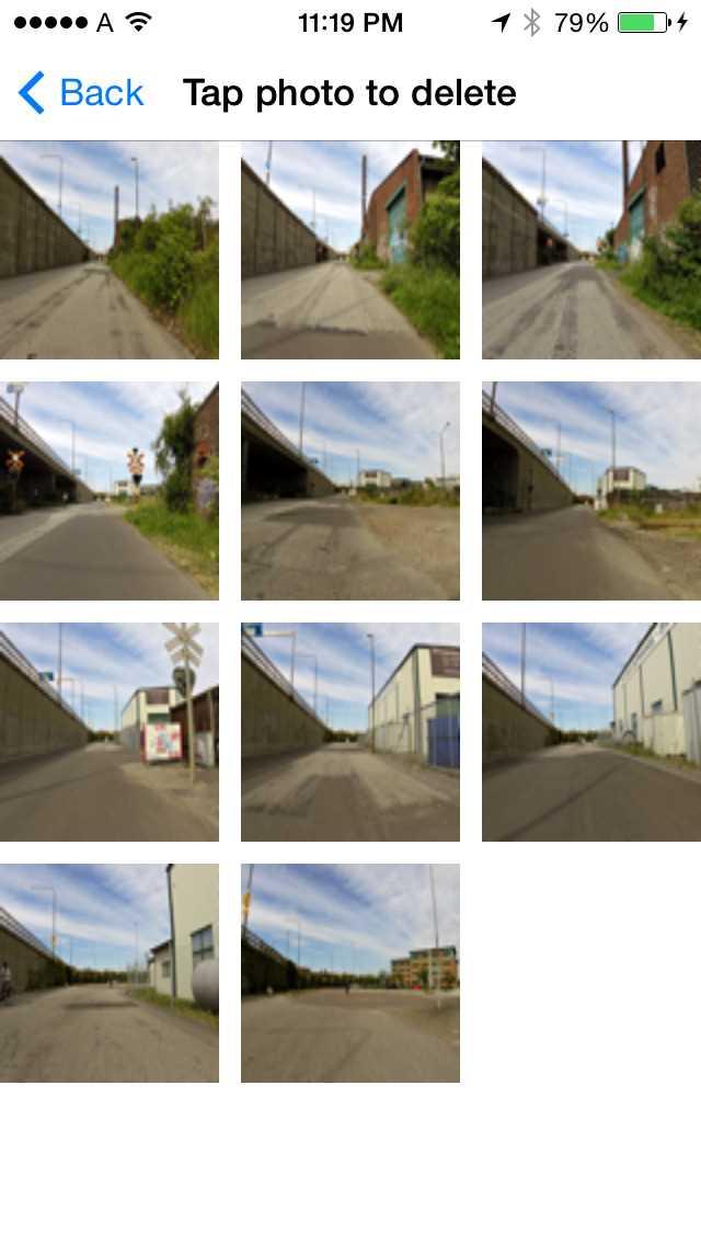
크라우드 소싱 된 거리 수준 사진 및 파노라마.Mapillary는 스마트 폰 앱, 웹 사이트 및 API로 구성됩니다.응용 프로그램을 사용하면 도로, 자전거 도로, 건물 및 기타 매핑 관련 영역의 거리 사진을 찍을 수 있습니다.이 사진들은 Mapillary 서버에 업로드되어 처리되며 공개됩니다.사진과 추가 데이터는 개발자, 앱 제작자 및 매핑 서비스에서 사용할 API를 통해 액세스 할 수 있습니다.
웹 사이트:
https://mapillary.com/카테고리
라이센스가있는 모든 플랫폼에서 Mapillary를 대체
1099
Google Maps
위성 이미지, 실시간 트래픽, 탁 트인 거리 전망 등을 포함한 소프트웨어 및 API 서비스 매핑
58
Google Street View
Google과 기고자로부터 수백만 장의 파노라마 사진이 포함 된 Google지도 서비스입니다.
23
Apple Maps
지도는 단계별 음성 안내, 대화식 3D보기 및 플라이 오버를 제공합니다.쉽게 확장 및 확대 할 수있는 벡터 기반 인터페이스
- 무료 앱
- Mac
- Apple Watch
- iPad
- iPhone
10
9
OpenStreetCam
OpenStreetCam-OpenStreetMap을위한 크라우드 소싱, 무료 및 공개 거리 수준 이미지 플랫폼.
3
GPS Navigator with Offline Maps
고품질 오프라인지도를 갖춘 무료 강력한 전문 GPS 내비게이션 시스템.오프라인지도를 사용하여 인터넷에 연결되어 있는지 여부에 관계없이 가능한 빨리 장소를 찾을 수있는 Android GPS 앱이므로 전화 요금을 피할 수 있습니다.
- 무료 앱
- Android
2
2
WhatWasThere
WhatWasThere 프로젝트는 시간과 공간에 대한 새로운 인간 경험을 제공하기 위해 기술과 연결을 활용할 수 있다는 사실에서 영감을 얻었습니다.
1
1
0
0
0