0
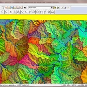
Global Mapper
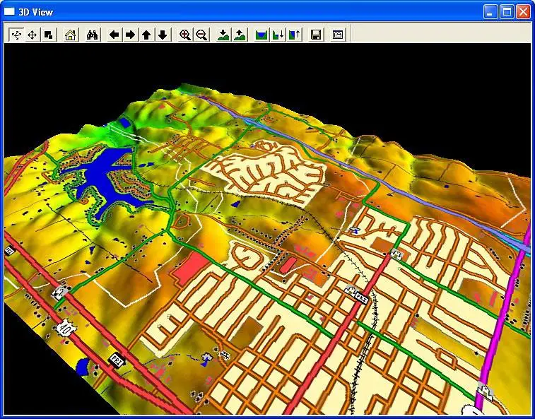
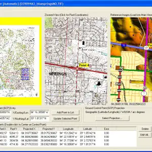
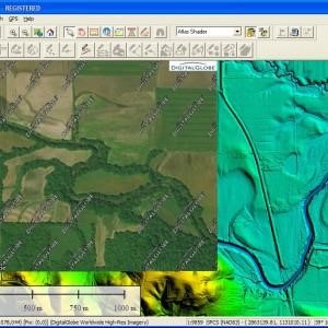
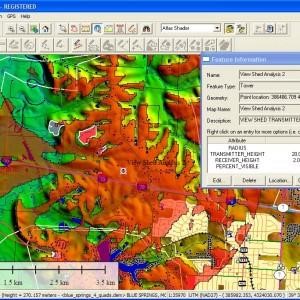
Global Mapper는 다양한 공간 데이터 세트에 대한 액세스를 제공하고 GIS 기능을 제공하는 GIS 데이터 처리 응용 프로그램입니다.Global Mapper는지도 또는 공간 데이터를 다루는 모든 사람을위한 필수 유틸리티입니다.
웹 사이트:
http://www.bluemarblegeo.com카테고리
라이센스가있는 모든 플랫폼에서 Global Mapper를 대체
79
23
22
12
ArcGIS
ArcGIS는 지리 데이터를 시각화, 관리, 생성 및 분석하기위한 GIS (Geographic Information System) 소프트웨어입니다.
8
5
gvSIG Desktop
gvSIG는 지리 정보 시스템 (GIS), 즉 모든 종류의 참조 된 지리를 캡처, 저장, 처리, 분석 및 배포하도록 설계된 데스크톱 응용 프로그램입니다.
3
Spatial Feature Server
MapET의 Spatial Feature Server는 ESRI Geoservices REST 구현이며 모든 ESRI Rest API와 함께 작동합니다.게시 된 데이터의 소스는 Oracle, Microsoft SQLServer, MySQL, PostgreSQL과 같은 주요 RDBMS의 공간 확장입니다.
- 유료 앱
- Windows
2
1
0