23
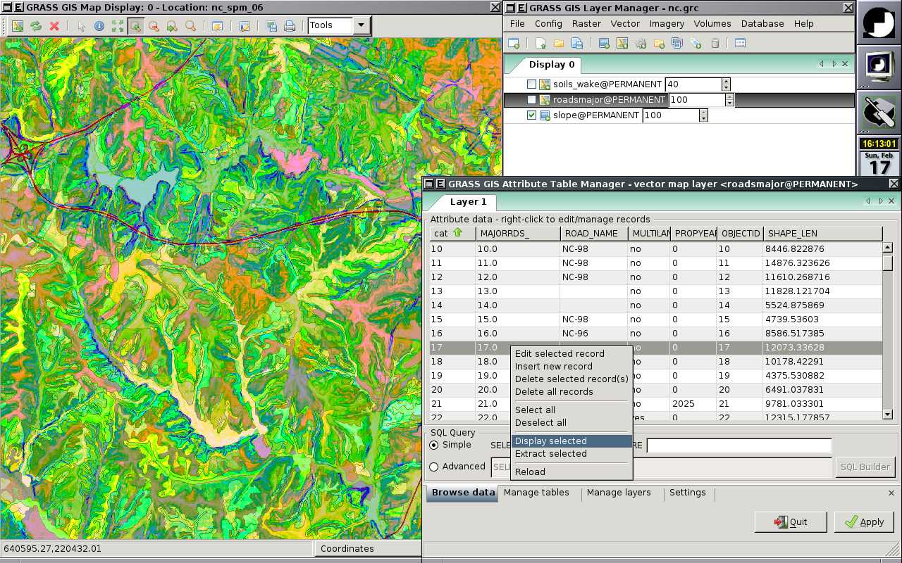
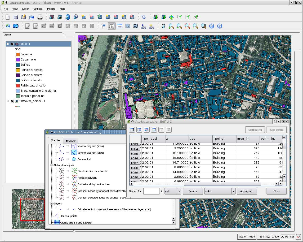
GRASS GIS (Geographic Resources Analysis Support System)는 래스터, 토폴로지, 벡터, 이미지 처리 및 시각화 기능을 갖춘 오픈 소스, 자유 소프트웨어 (FOSS) GIS (Geographical Information System)입니다.지리 공간 데이터 관리 및 분석, 이미지 처리, 그래픽 / 맵 제작, 공간 모델링 및 시각화에 사용되는 GRASS는 현재 전 세계의 학술 및 상업 환경뿐만 아니라 많은 정부 기관 및 환경 컨설팅 회사에서 사용됩니다 ....
웹 사이트:
http://grass.osgeo.org/풍모
카테고리
라이센스가있는 모든 플랫폼에서 GRASS GIS를 대체
79
22
12
ArcGIS
ArcGIS는 지리 데이터를 시각화, 관리, 생성 및 분석하기위한 GIS (Geographic Information System) 소프트웨어입니다.
10
9
8
5
gvSIG Desktop
gvSIG는 지리 정보 시스템 (GIS), 즉 모든 종류의 참조 된 지리를 캡처, 저장, 처리, 분석 및 배포하도록 설계된 데스크톱 응용 프로그램입니다.
4
MapInfo Professional
MapInfo Professional은 Pitney Bowes MapInfo의 강력하고 기능적으로 풍부한 데스크톱 매핑 응용 프로그램으로, 조직에서 다음과 같은 비즈니스 문제를 해결할 수 있도록 설계되었습니다.
- 유료 앱
- Windows
3
Spatial Feature Server
MapET의 Spatial Feature Server는 ESRI Geoservices REST 구현이며 모든 ESRI Rest API와 함께 작동합니다.게시 된 데이터의 소스는 Oracle, Microsoft SQLServer, MySQL, PostgreSQL과 같은 주요 RDBMS의 공간 확장입니다.
- 유료 앱
- Windows
2