23
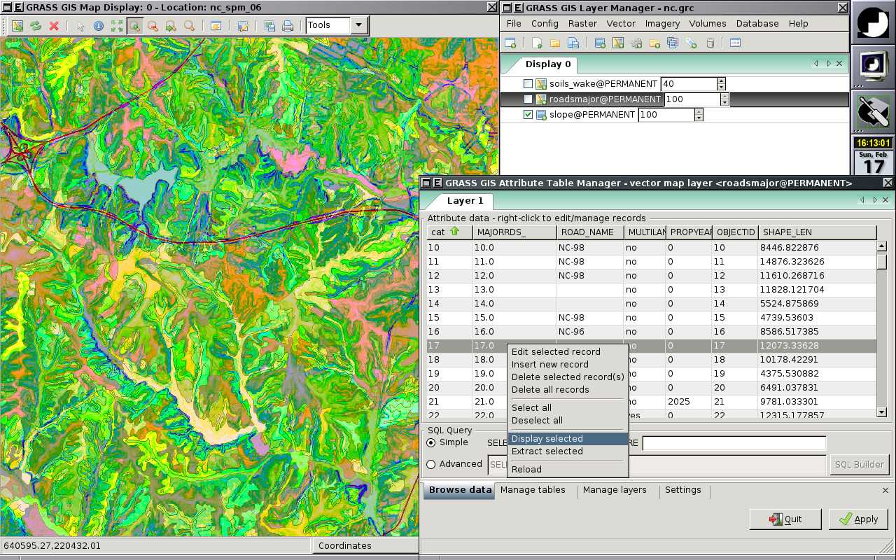
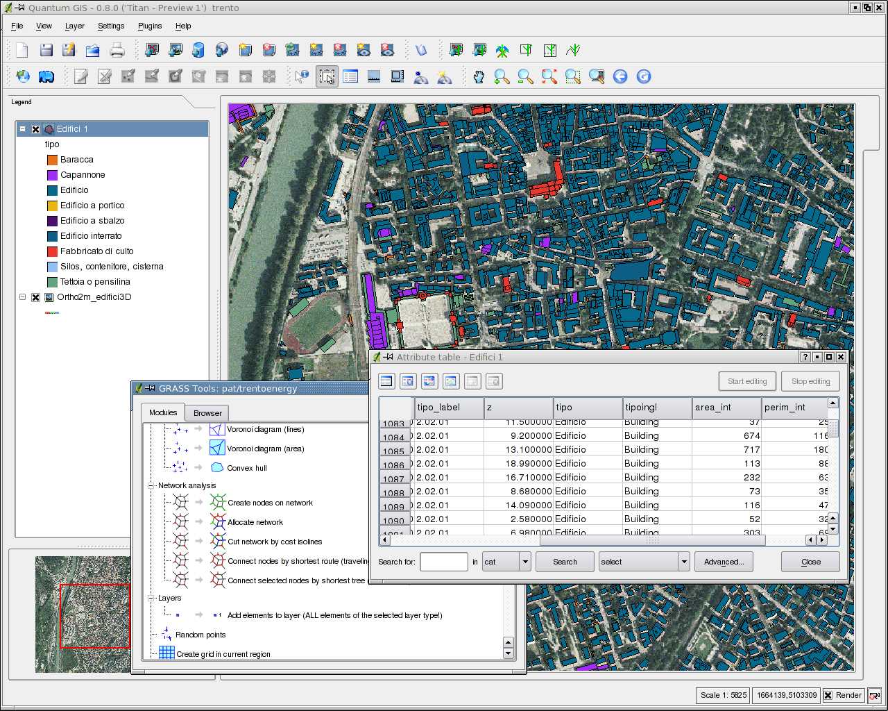
GRASS GIS (Geographic Resources Analysis Support System)는 래스터, 토폴로지, 벡터, 이미지 처리 및 시각화 기능을 갖춘 오픈 소스, 자유 소프트웨어 (FOSS) GIS (Geographical Information System)입니다.지리 공간 데이터 관리 및 분석, 이미지 처리, 그래픽 / 맵 제작, 공간 모델링 및 시각화에 사용되는 GRASS는 현재 전 세계의 학술 및 상업 환경뿐만 아니라 많은 정부 기관 및 환경 컨설팅 회사에서 사용됩니다 ....
웹 사이트:
http://grass.osgeo.org/풍모
카테고리
Web 용 GRASS GIS의 대안
12
ArcGIS
ArcGIS는 지리 데이터를 시각화, 관리, 생성 및 분석하기위한 GIS (Geographic Information System) 소프트웨어입니다.
1
1
Spotzi Mapbuilder
Spotzi는 무료로 사용해 볼 수있는 비즈니스 / 전문가를위한 사용하기 쉬운 온라인 GIS / 데이터 매핑 플랫폼입니다.짧은 학습 곡선으로 사람들은 즉시 데이터에서지도를 만드는 것으로 시작할 수 있습니다.Spotzi에는 또한 기성품지도 + 데이터가있는 데이터 숍이 있습니다.
0
0
0
0
GeoSheets
GeoSheets는 지오 코딩, 주소 정규화, 거리 계산 및 사용자 지정 및 포함 가능한 맵 생성과 같은 간단한 GIS 작업을 간단하게 수행 할 수있는 Google 스프레드 시트 무료 애드온입니다.
- 프리미엄 앱
- Web
- Google Drive