2
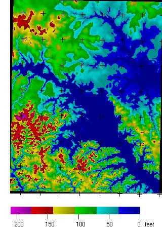
MICRODEM은 미국 해군 사관학교 실 해양학과 Peter Guth 교수가 작성한 프리웨어 마이크로 컴퓨터 매핑 프로그램입니다.MICRODEM은 디지털 고도 모델, 위성 이미지, 스캔 한지도, 벡터지도 데이터 및 GIS 데이터베이스를 표시하고 병합합니다.64 비트 버전의 Windows가 필요합니다.업데이트되지 않는 이전 버전은 32 비트 운영 체제에서 실행됩니다.MICRODEM을 제한없이 자유롭게 사용할 수 있습니다.
풍모
카테고리
라이센스가있는 모든 플랫폼에서 MICRODEM를 대체
79
23
3
Spatial Feature Server
MapET의 Spatial Feature Server는 ESRI Geoservices REST 구현이며 모든 ESRI Rest API와 함께 작동합니다.게시 된 데이터의 소스는 Oracle, Microsoft SQLServer, MySQL, PostgreSQL과 같은 주요 RDBMS의 공간 확장입니다.
- 유료 앱
- Windows
1
