2
Spectator
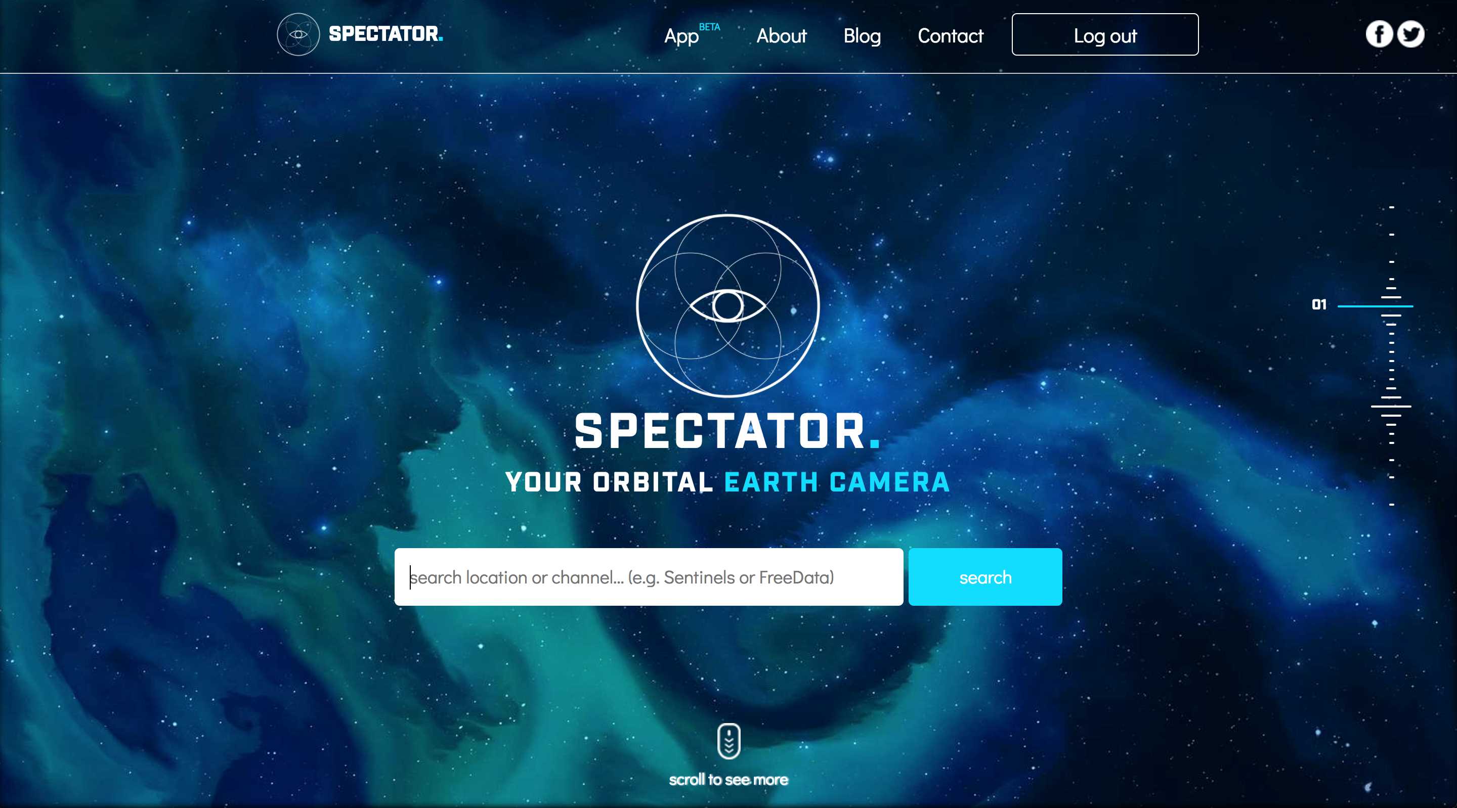
Spectator는 NASA, ESA 및 기타 제공 업체의 위성 이미지에 대한 액세스를 단순화합니다.이미지 아카이브에 액세스 할 수있을뿐만 아니라 위성을 실시간으로 추적하여 다음 이미지 획득에 대한 정보를 제공합니다.
- 무료 앱
- Web
Spectator는 NASA, ESA 및 기타 제공 업체의 위성 이미지에 대한 액세스를 간소화합니다.이미지 아카이브에 액세스 할 수있을뿐만 아니라 위성을 실시간으로 추적하여 다음 이미지 획득에 대한 정보를 제공합니다.
웹 사이트:
https://spectator.earth카테고리

라이센스가있는 모든 플랫폼에서 Spectator를 대체
943
40
Marble
Marble은 가상 지구 및 World Atlas로 지구에 대해 자세히 알아볼 수 있습니다. 이동 및 확대 / 축소 할 수 있으며 장소와 도로를 찾을 수 있습니다.
- 무료 앱
- PortableApps.com
- Windows
- Mac
- Linux
37
9
GMap.NET
GMap.NET은 훌륭하고 강력하며 무료이며 크로스 플랫폼이며 오픈 소스 .NET 컨트롤입니다.Google, Yahoo!에서 라우팅, 지오 코딩, 길 찾기 및지도를 사용할 수 있습니다.
- 무료 앱
- Windows
- Windows Mobile
8
7
1
1
Earth Browser
EarthBrowser는 3 차원 지구를 쉽게 탐색 할 수있는 혁신적인 지구 시뮬레이션으로 실시간 기상 조건 및 수천 일 동안의 7 일간의 예측을 결합합니다.
1
PeakFinder AR
어떤 산악인보다 더 많은 산을 탐험하십시오!PeakFinder Earth를 사용하면 모든 산과 봉우리의 이름을 360 ° 파노라마 디스플레이로 표시 할 수 있습니다.
1
0
TrafficLink
TrafficLink는 무료이며 스마트하고 세련된 시간 절약형 탐색 앱입니다.교통 정보를 사용하고 출퇴근 기록을 기록하여 목적지까지의 가장 빠른 경로를 자동으로 알려줍니다.
0
0
GPS Route Finder Navigation
GPS 경로 찾기 내비게이션은 길 찾기에 매우 유용합니다.GPS 네비게이션 무료 여행 로케이터 응용 프로그램은 당신에게 안드로이드에 대한 쉬운 GPS 경로지도를 제공합니다.
- 무료 앱
- Android
- Android Tablet
0